
First European map of the insulating effect of forests
Environment
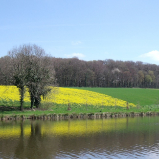
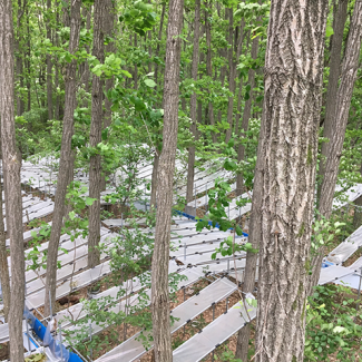
To cool off in summer, there's nothing better than a walk in the woods. Trees act as a buffer that cools the air beneath their foliage in summer and warms it in winter. This phenomenon is caused not only by the protection that the forest canopy provides, but also by the transpiration of trees in summer: trees absorb cooler water from the soil, and this water is then transported up to the leaves, ending up in the atmosphere and thus cooling the surrounding air. The insulating effect of forests has now been mapped for the first time in Europe by an international research team, including a CNRS researcher1 . Their work is published on October 4, 2021 in the journal Global Change Biology. To produce the map, scientists used a database that gathers together data from various temperature sensors around the world. By correlating the temperature readings with very accurate satellite imagery, they were able to map forest temperatures at unprecedented resolution. This revealed the insulating effect of trees, which on average cool the air by 2.1 ° C in summer and keep temperatures 2 °C higher than that of the ambient air in winter. This insulating effect undeniably provides shelter for forest-dwelling wildlife. However, if droughts, human activity and storms continue to intensify in the future, the insulation provided by forests could be jeopardised, endangering these ecosystems.
To find out more about the database used by the scientists, which is called SoilTemp: https://soiltemp.weebly.com and https://onlinelibrary.wiley.com/doi/full/ 10.1111 / gcb.15123
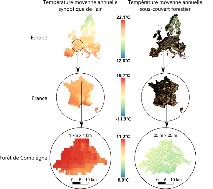
Left: mean annual temperatures as predicted by spatial modelling of climatological series for the period 1970-2000, from conventional weather stations
© WorldClim, https://www.worldclim.org
Right: mean annual sub-canopy temperatures. On the maps of Europe and France on the right, the areas in black correspond to non-forested areas. The last zooming window shows the spatial predictions of sub-canopy temperatures over the whole state forest of Compiègne, in the Oise department (north of Paris), covering an area of 14,357 ha (144 km2).
© Stef Haesen / Koenraad Van Meerbeek
- 11 - Researchers from the Laboratory for Ecology and Dynamics of Anthropised Systems (CNRS / Université de Picardie Jules Verne) took part in the study, which was led by the KU Leuven University in Belgium.
Bibliography
ForestTemp – sub-canopy microclimate temperatures of European forests. Haesen and al. Global Change Biology, 4 October 2021. DOI : 10.1111/gcb.15892